Northern Vietnam · Landscape
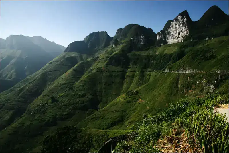
Đồng Văn Karst Plateau
An extensive northern limestone plateau with mountain passes and inhabited valleys, rather than a single walking park.
JanFebMarAprMayJunJulAugSepOctNovDec
Explore this place ↗Caves, rice terraces, forests, wetlands and waterfalls. Find your next nature stop with practical guides and real imagery.
A broad selection, not a complete inventory of protected areas. Regional guides and individual sights can overlap. Suggested months are not a weather guarantee. Saved places stay in this browser.
An extensive northern limestone plateau with mountain passes and inhabited valleys, rather than a single walking park.
Broad cascades on the Quây Sơn near the Chinese border, framed by fields and limestone mountains.
A limestone cave near Bản Giốc with varied stalactite and stalagmite formations.
Steep rice terraces surround mountain villages. These are working farms whose appearance changes with agricultural activity.
A landscape of freshwater lakes, rivers and forested limestone mountains.
This page covers the valleys around Sa Pa, where rice terraces follow the mountainsides, rather than urban attractions.
Rice terraces trace the slopes around villages in this northern mountain region.
Mountain forest on the Tam Đảo range. The national park is larger than the developed hill town of the same name.
This page covers viewpoints around Tà Xùa near Bắc Yên, not an expedition to the high summit of the same name.
Forested mountains west of Hanoi, with changes in elevation and cultural sites amid the greenery.
A seascape of limestone islands and bays. This page covers the landscape rather than one particular island.
A farming plateau of tea hills, orchards and valleys rather than untouched wilderness.
The protected forest and karst area on Cát Bà differs from the island’s beach and boat destinations.
Rice fields and villages sit between green hills. This is an inhabited cultural landscape, not an enclosed nature park.
Forested hills meet inhabited valleys with rice fields and waterwheels.
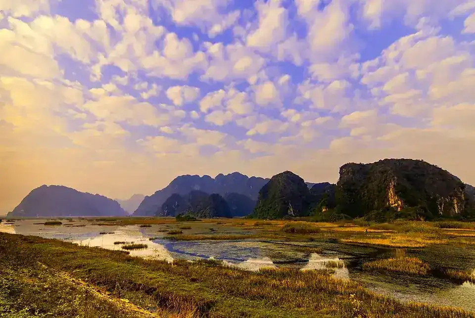
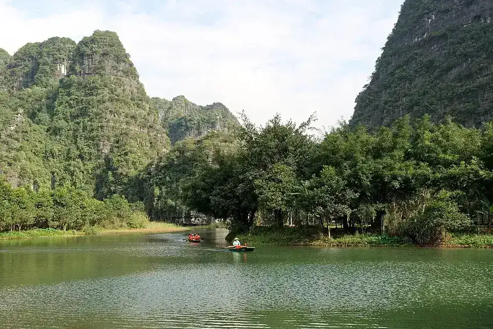
Shallow water and limestone slopes create a landscape distinct from Ninh Bình’s busier boating areas.
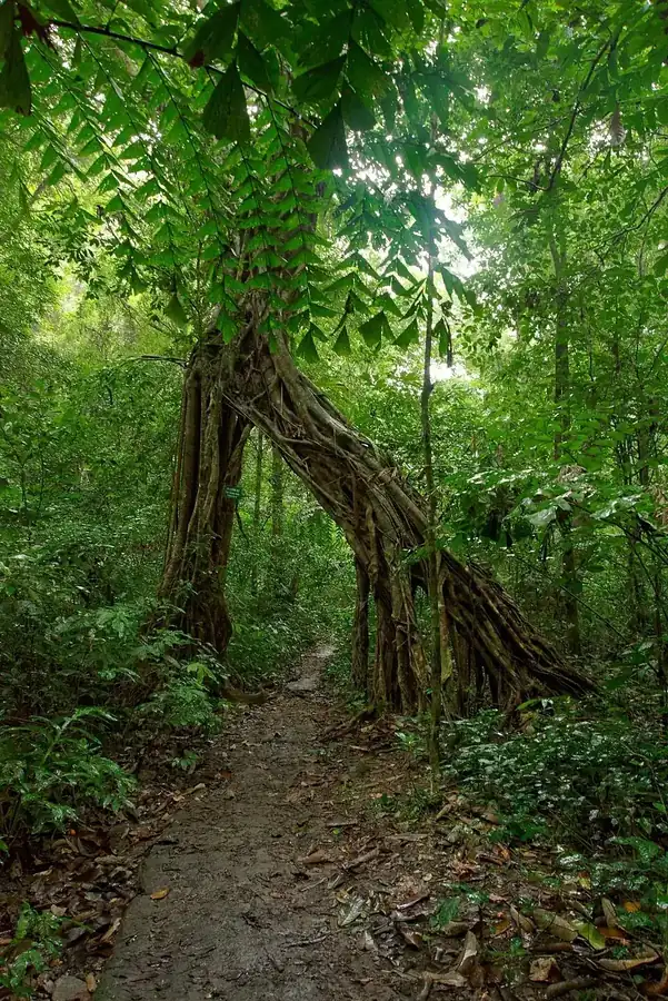
Forest on limestone hills, with mature trees and a strong conservation focus.
The countryside west of the city combines rice fields, waterways and steep limestone formations. Tràng An and Tam Cốc have separate pages.
A specific boating area within the wider Ninh Bình landscape, with waterways between limestone formations and caves.
The well-known staircase leads to views across the Tam Cốc valley. The viewpoint is the main attraction rather than the small cave.
The Ngô Đồng river winds past rice fields and karst. This is a distinct boating route, not another name for all of Ninh Bình.
Limestone mountains and forest around Phong Nha; this overview covers the park landscape rather than one cave.
This river cave is a distinct visit within Phong Nha–Kẻ Bàng, with a boat journey to the entrance.
A dry cave with large chambers and formations, viewed from a built visitor walkway.
An enormous cave with large ceiling openings. This is a demanding guided expedition rather than an independently accessible day attraction.
A large river cave with a sandy camping area. Visiting involves an organised trek through remote terrain.
Mountain forest between Huế and Đà Nẵng, with mist, streams and substantial elevation changes.
A low-lying forest area with seasonal deciduous woodland near the Sêrêpốk.
A separate waterfall in the same highland river system as Dray Nur, with forest and rocks around the water.
A broad waterfall in the Sêrêpốk system near Buôn Ma Thuột; it is not the same site as Dray Sáp.
A freshwater lake surrounded by hills and M’nông villages, with a distinctly inhabited shoreline.
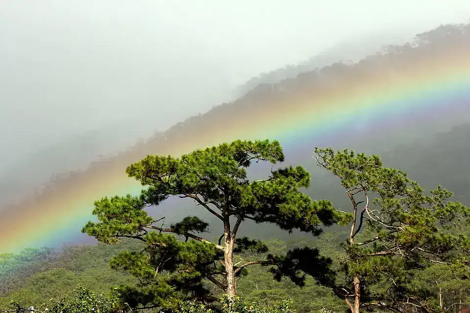
Highland forest around Đà Lạt, with habitats different from the city’s open farming hills.
An overview of the landscape around Đà Lạt: hills, pines, lakes and farmland. Individual natural sites have their own pages.
A reservoir with green islands and forested shores in the Tà Đùng area; the lake is not a naturally formed bay.
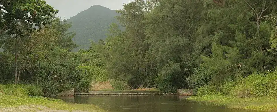
Dry coastal woodland and rocky slopes distinguish this park from the moist highland forests.
Water spreads across broad rock ledges south of Đà Lạt; the flow varies substantially.
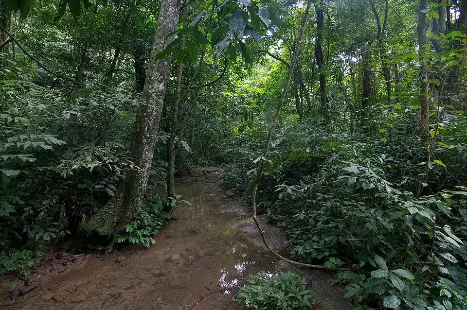
Lowland forest with rivers and wetlands. The habitat is rewarding even when animals remain hidden.
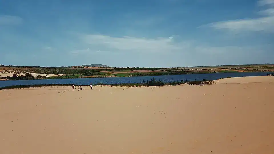
Pale dunes sit beside freshwater lakes northeast of Mũi Né, distinct from the red dunes nearer the village.
A small watercourse between coloured sand and clay formations around Mũi Né.
Warm-coloured sandy slopes closer to Mũi Né than the white dunes of Bàu Trắng.
Wetlands of the Đồng Tháp Mười, with grasslands, aquatic plants and bird habitats.
A planted, protected wetland forest with channels and cajuput trees near Châu Đốc.
An extensive estuary and mangrove landscape southeast of Ho Chi Minh City.
The protected northern forest area of Phú Quốc offers a different side of the island from the resort beaches.
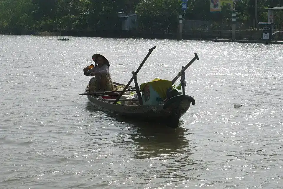
A broad region of river branches, orchards and villages. The Cần Thơ map pin is a reference point, not a bounded reserve.
Freshwater swamp and peat forest form a different ecosystem from the coastal mangroves farther south.
Cajuput forest on wet and partly peaty ground in the Cà Mau area.
A protected combination of island forest and marine habitats; not every part is independently accessible.
Coastal mangroves and tidal habitat near the southern tip of mainland Vietnam.
No places found. Adjust your filters.
Indicative locations, not trailheads. The map follows your filters; panning and zooming start locked.
© OpenStreetMap · Loads only after you click.